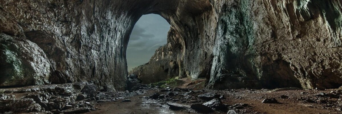
Using the Martian cavities to house colonisers’ first bases is one of the most popular concepts today. This is where drones come into play to help mapping the intricate alien mazes on the far-off planet.
Indeed, the use of the marscape created by nature will allow to save significant amounts of money on base construction for the first settlers. Underground (or rather, sub-Martian) labyrinths will serve as excellent protection for astronauts from radiation, asteroids and other aggressive environment impact.
Researchers from the Search for Extraterrestrial Intelligence Institute and Astrobotic Company have suggested using unmanned drones to tunnel mapping. They have already presented the drone, which, in their opinion, is perfect for such a challenging task.
The drone is equipped with the LIDAR system that enables to make 3D maps of the tangles labyrinths. It has already been tested in Iceland for exploration of the Lofthellir Cave in a GPS-denied mode.
It is symbolic that caves already served mankind in the distant past, protecting our ancestors from wild animals. And now, many centuries on, we are going back to the cave, only on another planet.
Share this with your friends!


Be the first to comment
Please log in to comment