We need an accurate digital city map in order to truly integrate augmented reality (AR) technology into our lives and enable autonomous vehicles and delivery drones to move freely around cities. And it seems about to appear.
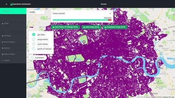
The London-based startup Scape plans to use GPS and camera images to accurately detect an object’s location within a few seconds. To this end, the company has collected billions of city photos from all over the world. Its database is constantly updated with images from a variety of sources to correct the map. Having determined the distance and the angle from which an object is observed (for example, a delivery robot), the system sends it information about the precise coordinates.
This development will speed up drone adoption, as the current GPS and similar navigation systems are unsuitable for cars that need to have their location determined with minimal error. Scape will also positively impact the AR industry, making it much more aligned to the real world than it is today.
Share this with your friends!


Be the first to comment
Please log in to comment