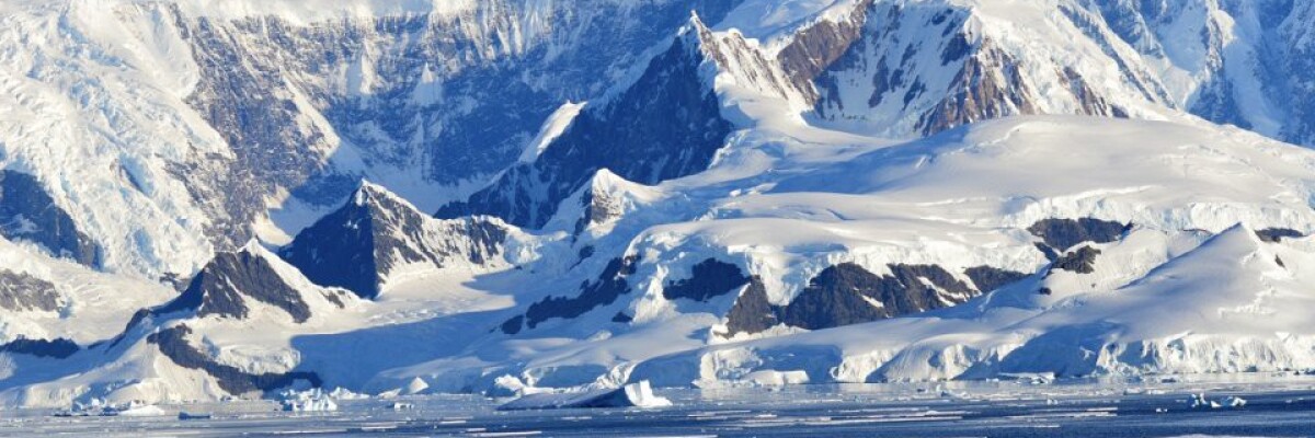
At this point, the land is 3.5 km below sea level.
The deepest point on land turned out to be a canyon in Antarctica. The deepest point in this canyon is 3.5 km below sea level. This ice-covered canyon in East Antarctica has been on the radar for researchers for a long time already. However, it was previously believed to have a depth of only several dozen meters.
Using radar to study the landmass beneath the Denman glacier, scientists managed to determine the true depth of the canyon - 3.5 km. The study was led by project BedMachine. The analysis was conducted using a special plane equipped with radar. Scientists determined the depth using radar and ice surface motion data.
This new data revealing the structure of the mainland of Antarctica will be used to create models predicting the melting of glaciers and the sea-level rise.
Share this with your friends!


Be the first to comment
Please log in to comment